1
/
of
3
LightHouse MAD Lab
SFSU Tactile Maps (Visual with Large Print and Braille)
SFSU Tactile Maps (Visual with Large Print and Braille)
⚠️ Important Notice for MAD Lab Products ⚠️
Please note: MAD Lab items are custom-made and require a minimum 2-week turnaround time. Production begins after your order is placed. Thank you for your patience and understanding!
Regular price
$163.00 USD
Regular price
$106.00 USD
Sale price
$163.00 USD
Unit price
/
per
Shipping calculated at checkout.
Couldn't load pickup availability
Braille, Large Print and Full-Color Tactile Graphics
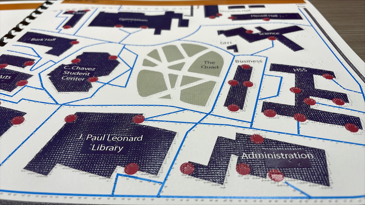
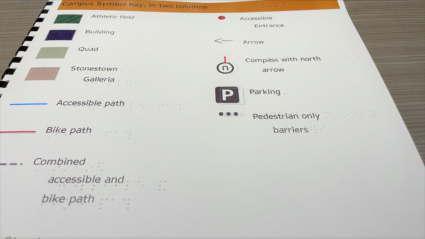
- Series of tactile maps and keys of the central San Francisco State University campus bordered by Winston Dr./Stonestown (N), 19th Avenue (E), Holloway Ave./Font Blvd. (S), and Lake Merced Blvd. (W). This set of 9 detailed tactile maps shows streets, pedestrian paths, buildings, and bus stops. Each map is paired with a corresponding key/legend containing abbreviations. Note: Maps last updated September 2016. Since that time there may have been changes to the built environment not shown in these maps.
- 24 pages of full color tactile graphics.
- Measures 11.5 x 11".
Share


